Wintry week continues with snow, wind today
Storm will usher in frigid temps Friday
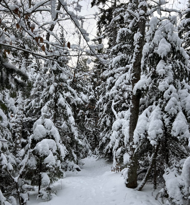
Snow-covered trees are seen in Henry’s Woods in Lake Placid on Tuesday. (Enterprise photo — Chris Gaige)
SARANAC LAKE — A winter weather advisory remains in place for the Tri-Lakes region until 1 a.m. Friday.
The advisory began at 1 p.m. Wednesday for a widespread — but generally light — snowfall event that is expected to come to an end tonight.
A general 3 to 5 inches of snow is expected across the Tri-Lakes villages by midnight, according to the National Weather Service’s Burlington Office, which serves northern New York. The mountains — especially their western-facing slopes — will see higher accumulations, with as much as a foot of snow for the High Peaks’ summits.
Winds will also be a factor, with gusts as high as 30 miles per hour tonight. The breezy conditions may combine with briefly heavier bursts of snow throughout the day, resulting in occasional periods of reduced visibility for drivers today.
“Breezy winds will lead to areas of blowing and drifting snow, making for hazardous travel especially during the Thursday commutes,” the NWS wrote in its forecast discussion. “Use extra caution if you’re planning on traveling and be prepared for rapidly changing road conditions.”
A frigid — but short-lived — air mass arrives on the heels of today’s storm. Friday’s high temperatures are not expected to make it out of the teens across the Tri-Lakes area, with early Saturday morning lows in the single digits. These temperatures are about 10 to 15 degrees below average for early December.
The mercury is forecasted to break back above freezing by Sunday, with rain likely for the region by Monday. The pattern remains active, with more chances of rain or snow likely by the middle of next week, although it remains too early to say what form of precipitation or how much of it will fall across the Tri-Lakes.