Outdoors info? There’s an app for that
New York state has launched a free application for mobile devices that is geared toward sportsmen and outdoor enthusiasts.
The “New York Fish & Wildlife” app was developed by the state Department of Environmental Conservation in partnership with ParksByNature Network, LLC. It is available for free download in the iTunes App Store and the Android Market for use on iPhone and Android devices. There was no cost to New York state for the app.
The app provides GPS mapping features as well as detailed species information, news, advisories and weather alerts, social networking and photo sharing, and cache-able map tiles for offline use.
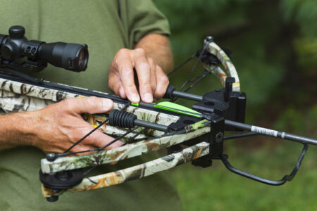
Currently, most of the information in the app is geared toward sportsmen.
“The big push right now is for fishing information, hunting information, trapping, all the sportsmen-type stuff, along with the watchable wildlife stuff,” said Benjamin Bober, DEC Senior Administrative Analyst with the Office of Communication Services. “The phase II information is including more information on the hikes.”
Bober said the choice to focus on fishing and hunting first was because that information is the most popular on the DEC website, and the decision to go mobile was a reaction to web-user trends.
“I think it was in the last year or two that we found that over 50 percent of people accessed information on our website using a mobile device,” he said.
Brett Melillo, ParksByNature co-founder and program coordinator, said in a press release that “The Pocket Ranger Fish and Wildlife App will encourage a new generation of users to explore and discover all that New York has to offer for outdoor recreation.”
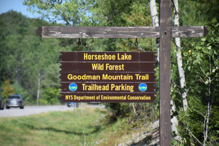
The Official Geographic Information System (GIS) data allows users to access trail data, user locations, amenity locations, including boat ramps, parking and restrooms.
For hunters and anglers, GIS data will give geographic spatial information, making it easy to identify county borders and units that apply to regulations, permits and licenses for species.
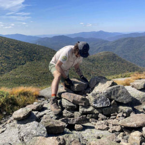
One feature that is available now for hikers is that there is a built-in GPS map that allows users to map their hike. People can set waypoints on it and upload photos to attach to the map.
“So if you saw a bird or a bear, you can set markers along the route, so after the hike you can actually go into the data that was stored,” Bober said. “You can see the route you took. It records the speed, the elevation, how long it took you.”
The app will also be useful in areas where there isn’t cell phone reception, Bober said. That’s because the app information will be stored on the phone.
“The majority of the app is still functional without a signal,” he said.
Bober also noted that the app will be useful for people who get lost in an area where there is cell phone reception. In those cases, users can use the program to send a text or email that will show their coordinates on a Google map to the person receiving it.
ParksByNature Network, LLC also developed the technology Pocket Ranger, a smartphone outdoor mobile guide application as a resource for state park systems and fish and wildlife agencies across the country.