Bitter cold takes a break
Weather pattern flip means less chill for mid February
SARANAC LAKE — After a mostly cold December, January and start to February for the Adirondacks and much of the eastern U.S., the switch appears to be flipping. The odds of such punishingly cold weather look to be much lower, at least for the next week or two.
High temperatures will remain in the mid-20s throughout this week, and have the potential to approach near the freezing point early next week, according to the National Weather Service’s Burlington, Vermont office, which serves the Tri-Lakes region. Low temperatures in the teens or single digits are expected, with no signs of below zero temperatures in the timeframe.
These are closer to, and even slightly above average values for the Tri-Lakes region for this time of year.
While it’s tricky, fickle and often futile to predict specific conditions, such as the exact temperature or how much precipitation may fall, for a given time so much in advance, this is a bit different. It’s something that meteorologists have more confidence in, as a broader, larger-scale pattern change from the last couple of months is driving it.
These are more reliable trends for computer weather models to pick up on, and something they’ve been steadily depicting for the last week or so. Even as the specific temperatures keep shifting day by day, relatively warmer, and an absence of frigid Arctic air masses that have dominated the weather recently.
NWS Burlington Lead Meteorologist Robert Haynes said that forecasters aren’t anticipating an especially warm stretch of weather — that is to say, anything above 40 degrees Fahrenheit — during this time. Still, though, he said it should feel warm relative to what the region has been experiencing over the last several weeks.
“We are looking at a period of warmer weather that’s going to come up,” he said. “It’s not looking incredibly warm in the sense that it’s not going to be a widespread thaw.”
Haynes said that the frigid cold is due to the jet stream sagging far down to the south over the eastern U.S. as it has simultaneously arced up over the western U.S., resulting in durable above-average temperatures there as the Arctic air masses have tended to move directly from the North Pole, down over central Canada and directly over the eastern U.S.
The shorter travel time at more southerly latitudes served to preserve the ultra-cold air that this area experienced. Going forward, at least for the next week or so, Haynes said the jet stream is expected to flatten out and move further north. This will essentially cut off the direct Arctic air channel to this area, with air masses instead originating from more temperate areas, and consequently, be milder when they arrive here.
“We’ve had a pretty consistent northwest wind pattern for most of the winter,” he said. “So as a result, we have tended to get some of our colder air from Canada, in the polar regions … but it looks like over the next week, our winds will be more westerly.”
Haynes said that without the northwest direction, there will be generally warmer air masses. It’s not to say temperatures will surge far above average or resemble anything even approaching tropical, but, at least for now, people can expect an extended change from how cold it’s been.
Local News
Bitter cold takes a break
SARANAC LAKE — After a mostly cold December, January and start to February for the Adirondacks and much of the ...
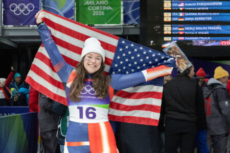
USA Luge’s Ashley Farquharson wins Olympic bronze
USA Luge’s Ashley Farquharson wins Olympic bronze
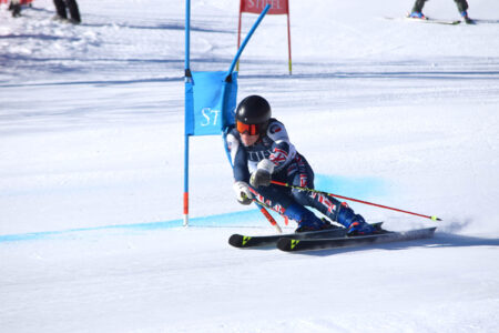
Whiteface goes world class
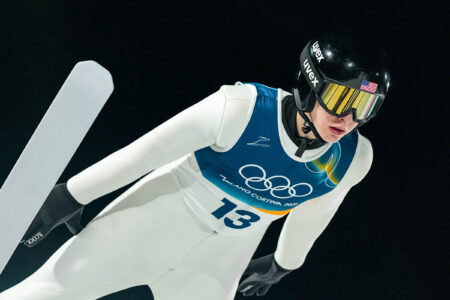
Germany’s Philipp Raimund wins Olympic ski jump gold
Germans lead after two runs of Olympic women’s luge race
CORTINA D’AMPEZZO, Italy (AP) — German teammates Julia Taubitz and Merle Fraebel have pulled away after the ...