Winter snow storm on track for Sunday night, Monday
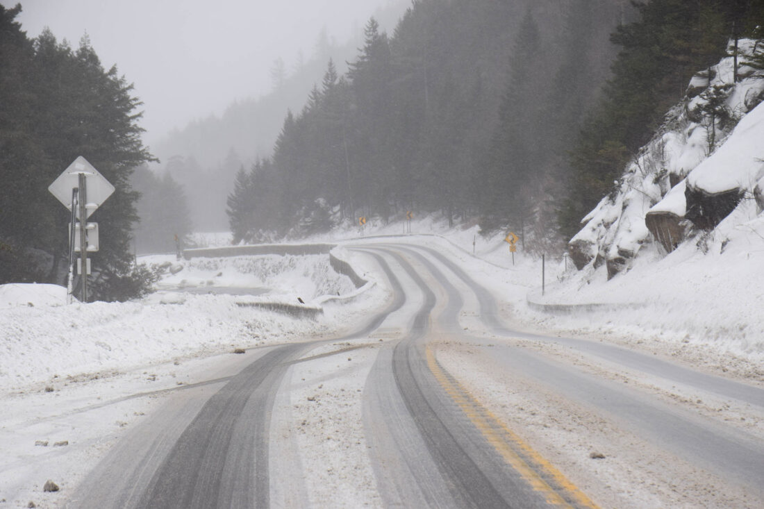
Slick road conditions are through the Notch on state Route 86 near the town border between North Elba and Wilmington in December. Frigid, single-digit temperatures made it difficult for road salt to melt the day’s accumulating snow. (Enterprise photo — Chris Gaige)
SARANAC LAKE — The forecast appears to be holding steady for a hefty snowfall Sunday night and Monday across the Tri-Lakes as a storm that has gripped the eastern two-thirds of the U.S. turns up the coast and sets its sights on the region.
The National Weather Service’s Burlington, Vermont office, which serves the Tri-Lakes region, issued a winter storm warning for Essex County from 1 p.m. Sunday until 1 a.m. Tuesday for 9 to 16 inches of snow, with locally higher amounts possible.
Franklin and Clinton counties remain under a winter storm watch as of press time Friday evening for 7 or more inches of snow. This will likely change, as a winter storm watch is a more preliminary type of weather alert and is usually changed closer to the onset to either a warning — for more severe storms — or an advisory for less severe but still impactful storms.
The heaviest snowfall is expected to fall south of the region, in central New York, the Capital Region and southern New England, where as much as two feet of snow could fall. Lesser amounts are expected further north, where entrenched high pressure — remnants of Saturday’s frigid Arctic air — will deflect the precipitation.
The timing of and predicted snowfall amounts in these weather alerts are subject to change, based on the latest conditions and forecast updates. The heaviest snow is expected to fall overnight Sunday and early Monday, potentially making for a tricky morning commute. Snow is expected to gradually taper throughout the daytime hours on Monday as the storm pushes off.
NWS Burlington Meteorologist Maureen Hastings wrote in the office’s forecast analysis that the snow is expected to be fluffy and dry, given how cold the air will be. Temperatures are expected to remain in the single digits Sunday and most of Monday. The silver lining, she wrote, is that the relatively light-weighted snow, combined with light winds, should minimize the amount of falling branches.
“While isolated trees or branches down can’t be totally ruled out, the snow just isn’t going to be the wet, heavy type that favors more utility-based impacts,” she wrote.
Whatever snow does end up falling isn’t expected to go anywhere, at least not anytime soon. Long-range weather models are in agreement that cold air will filter in behind this storm, leading to below-average temperatures for most of the week.