Tri-Lakes slated for a white Christmas
SARANAC LAKE — Following a wild roller coaster week of weather, sub-freezing temperatures look to lock in across the Tri-Lakes between now and Thursday, all but guaranteeing a white Christmas for the region.
On top of that, a modest storm is expected to drop between 2 and 4 inches of snowfall throughout Tuesday, according to the National Weather Service’s Burlington, Vermont office, which serves the Tri-Lakes region. This should provide a fresh coating atop what’s already on the ground. Snow is expected to begin Tuesday morning, falling at a steady light to moderate clip throughout the afternoon, gradually winding down in the evening.
Though roads may be slick in spots, NWS Burlington Meteorologist Conor Lahiff said Tuesday’s storm isn’t predicted to have anywhere near the wind strength of Friday’s and should be less impactful, overall, to travel. Even though there will likely be accumulating snowfall, it will fall over an extended duration, allowing road crews to stay on top of it.
Wednesday and Christmas Day both look to feature tranquil weather throughout the entire Northeast and Mid-Atlantic regions.
Lahiff noted that a white Christmas is technically defined by the NWS as having at least 1 inch of snow on the ground at 7 a.m. local time on Christmas Day. Saranac Lake has an 89% historical probability, based on observations from 1954 through 2024, of having a white Christmas.
While snow is often synonymous with Christmas in popular culture, the reality is that the majority of the country — both in terms of population and, when excluding Alaska, land mass — usually doesn’t see a white Christmas.
On average, just 36% of the Lower 48 states, by land mass, tend to have a white Christmas in any given year, based on satellite imagery and ground observations collected by the National Oceanic and Atmospheric Administration, which oversees the NWS, each Christmas morning from 2003 through 2024.
There is a lot of variability, though. Specific years in that time frame have ranged anywhere from 63% of the contiguous U.S. seeing a white Christmas in 2009 to just 17.6% in 2023. Despite a cold December locally, this year looks to be on the lower end of snow coverage nationally, with only about a quarter of the country forecasted to see a white Christmas this year. This includes the usual suspects: much of upstate New York, interior New England, the upper Midwest, high elevations in the Pacific Northwest and the Intermountain West.
Locally, the next thaw is anticipated to begin later in the day on Christmas, with afternoon high temperatures predicted to reach the upper 30s. This could continue into Friday, with another possible storm in the cards. Lahiff said it’s still too early to confidently predict what type of precipitation it will bring. Some weather models show a mostly rain event, while others depict a colder solution with either snow or a wintry mix of sleet and freezing rain.
Local News

US slides to four World Cup luge medals
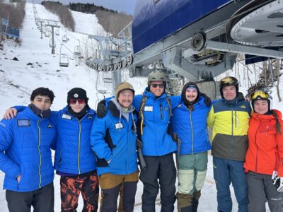
Whiteface Mountain cuts the ribbon on its newest lift
Tri-Lakes slated for a white Christmas
SARANAC LAKE — Following a wild roller coaster week of weather, sub-freezing temperatures look to lock in ...
Sun sets on Casa del Sol … for now
SARANAC LAKE — The operators of the historic Casa del Sol restaurant will be leaving at the end of the ...
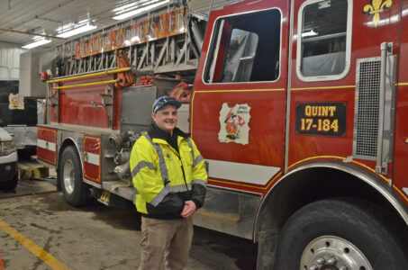
Firefighting in his blood
Pendragon Theatre earns 35 BroadwayWorld nominations
SARANAC LAKE — Pendragon Theatre has been nominated for 35 BroadwayWorld Central New York Awards, led by the ...