Light snow and sleet today, rain to snow storm forecast Wednesday
-

- Raymond Kentile snow blows his driveway in Tupper Lake Sunday. (Enterprise photo — Chris Gaige)

Raymond Kentile snow blows his driveway in Tupper Lake Sunday. (Enterprise photo — Chris Gaige)
SARANAC LAKE — Another week of active weather is in store for the Tri-Lakes Region.
Unlike last week — which saw multiple rounds of accumulating snow and chilly temperatures — snow lovers may have less to celebrate over the next few days.
The two storms forecast to impact the Tri-Lakes area this afternoon and Wednesday will be more of a mixed bag as warmer temperatures will be in place, according to the National Weather Service’s Burlington, Vermont office, which serves northern New York.
This afternoon and evening’s storm is forecasted to be the less significant of the two.
The storm is approaching the Tri-Lakes area from the south. The precipitation that will occur is situated around a warm front — meaning warmer air is pushing from south to north with the storm. There is uncertainty, however, surrounding the degree, figuratively and literally, to which the warm air will move into the region.
–
The science behind winter warm-fronts
–
Robert Haynes, a lead forecaster at the NWS’s Burlington office, said these storm setups are typical for the area. Often, precipitation will begin as snow ahead of the actual warm front.
“Often as warm fronts lift north of the region, that warm air behind the warm front can result in (snow transitioning) to a wintry mix followed by rain as it makes its passage north,” he said.
As the front gets closer, warm air first advances higher up in the atmosphere while cold air sinks and remains in place for a longer period of time closer to the ground.
This is known as a temperature inversion, as it typically becomes progressively colder at higher elevations in the atmosphere.
As precipitation falls through the warmer sector of air aloft, it melts before re-freezing in the colder air closer to the ground and reaching the surface as sleet. As the warm front gets closer, the warm, above-freezing sector in the atmosphere widens as cold air is displaced and pushed out of the region.
This is when freezing rain can occur, as the precipitation no longer has enough of a column of cold air to re-freeze in the atmosphere, so it falls as liquid, but the ground and the slice of air immediately above it have not had time to thaw — unless treated with salt — hence the precipitation re-freezes as a coat of ice on the ground.
Eventually, as warm air continues pushing in, the ground warms above freezing, at which point freezing rain becomes plain, fully liquid rain.
This is a general setup, and each storm is variable in two significant aspects: how quickly the above-freezing air advances and how much precipitation is associated with the storm.
–
Today’s storm
–
The storm this afternoon and evening is expected to be on the slower side for warm-air advancement, meaning the bulk of the precipitation is expected to fall as snow.
“One of the things that will help to prevent it from being too widespread will be there’s a coastal surface low that’s expected to develop and sometimes that can help to keep cold air (over the Tri-Lakes region) a bit longer,” Haynes said.
However, overall precipitation amounts look to be light, with snowfall accumulations of only a trace to two inches expected, with any ice accumulations later in the night from sleet or freezing rain under one-tenth of an inch.
“It is going to be coming through around 5 p.m. or so,” Haynes said, “so there could be some slippery travel out there, but for the most part the snow is going to be fairly light.”
He added that by Tuesday morning’s commute, the precipitation is expected to have moved out of the area and temperatures will be at or above freezing, minimizing any weather-related travel concerns.
–
Setting the stage for Wednesday rains
–
Tuesday is forecast to bring a temporary weather-lull to the area, with temperatures in the 40s and no precipitation expected. As of press time Sunday evening, it is the calm before the storm.
Haynes explained that warm temperatures will continue into Wednesday, as the next storm moves in.
“We’re going to be in a region where we have plenty of warm south (air) flow that’s going to help us warm well above freezing during the day on Wednesday such that we think we’ll have temperature warm into the 40s,” he said.
Haynes explained that in addition to warmer temperatures, the weather pattern will be aligned to deliver moisture from the Gulf of Mexico northeast toward the Tri-Lakes region.
“It has a very efficient moisture stream from the Gulf of Mexico so (a) very warm sub-tropical type of rain that (is) going to come through that will result in some moderate to heavy rain, at times, across the region as we head into Wednesday,” he said. “When you combine that with a little bit of snow melt, that can create some hydrologic concerns for our area rivers.”
It is still too early to pinpoint exact rainfall amounts — and subsequent flood potential — but Haynes said that early estimates show between one and two inches of rain for the area on Wednesday.
–
Winter returns
–
While today’s storm comes on the heels of a warm front, Wednesday’s is associated with a cold front, with rains eventually turning back to snow as cold air pushes back into the Tri-Lakes region. Meteorologists are unsure how quickly cold air will move in late Wednesday.
“Cold air is expected to move into the region again Wednesday night,” Haynes said. “How quickly will determine how much snow parts of the Adirondacks get Wednesday night into Thursday. Some of that snow could be moderate to heavy but we’re still a little on the early side to start thinking about totals, given the uncertainties with temperatures.”
A quicker push of cold air would mean less rain — and a lower risk of flooding — Wednesday, and more snow for the Tri-Lakes area Wednesday night and Thursday. Conversely, a slower push of cold would mean more rain and less snow.
Regardless of how the exact dynamics play out Wednesday, colder air is expected for the region Thursday and Friday, with below-freezing temperatures and possible lake-effect snow in store for western portions of the area, although the lake-effect does not appear, as of press time Sunday evening, to be as strong as last week’s event.
Local News
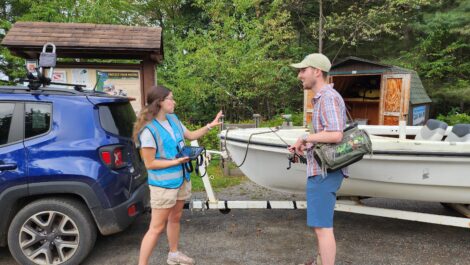
Paul Smith’s College Adirondack Watershed Institute urges boaters to help stop aquatic invasive species this summer
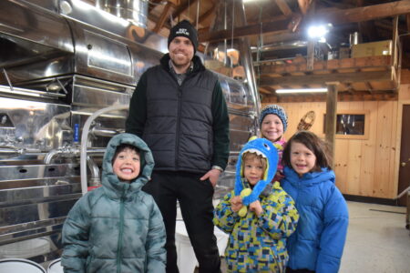
Lake Placid sugarbush sees best week yet

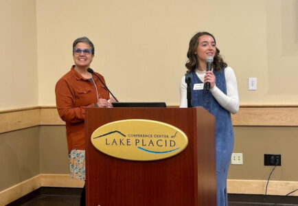
SUNY chancellor talks Reconnect program at NCCC

North Country students attend women in law event
WCSC awards scholarships to locals
SARANAC LAKE — The Women’s College Scholarship Club is accepting applications for $3,000 scholarships which ...